Why Choose Lane & Frankham for Mobile Scanning?
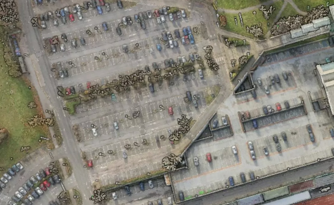
A traditional reconnaissance visit often yields fragmented photographs and limited measurements, requiring multiple return trips. Our use of advanced NavVis/Ivion technology combines rapid scan data collection with high-resolution panoramic imagery to provide a far richer, completely immersive dataset.
Mobile Scanning Expertise
Our expert geospatial team manages the entire data lifecycle, from initial advice to final model delivery:
- Consultancy: Expert advice on scanning specification and the most appropriate technology for your specific rail environment.
- Site Execution: Rapid data capture and rigorous post-processing of SLAM data.
- Cloud Solutions: Secure data hosting (via NavVis/Ivion) for seamless remote team access.
- Digital Deliverables: Post-production of highly accurate 2D CAD and 3D Revit products derived directly from the point cloud data.
Maximising Efficiency, Minimising “Boots on Ballast”
Our technology drastically reduces the time required on site. A standard two-platform station can be fully captured by our team in under half a day.
This resulting digital dataset can be securely accessed by multiple team members and stakeholders to complete a wide range of tasks remotely. By enabling your design, engineering, and management teams to “walk the site” from their desks, we significantly reduce the need for “Boots on Ballast”.
The Digital Twin: More Than Just a Survey
Our mobile scanning deliverables are not just static drawings; they are interactive digital environments supported by highly precise point cloud data.
- Collaborative Imagery: High-quality, 360-degree panoramic imagery with built-in options for mark-up, sharing, linking information, and taking general measurements directly within your browser.
- Intelligent Modelling: The underlying point cloud data allows for the creation of highly detailed CAD or Revit models, providing the perfect foundation for BIM integration.
- The Snapshot in Time: The data is securely stored and can be revisited for a variety of future applications without the need for repeated, costly site visits.
- Long-Term Asset Management: The imagery provides a detailed, timestamped snapshot of the site. This can be directly compared with subsequent surveys, even years apart, to accurately monitor structural changes, track degradation, or assess overall asset condition.
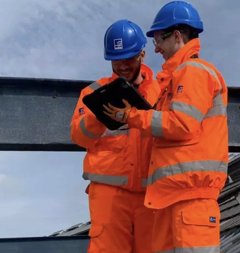
Meet our mobile scanning lead