Why Lane and Frankham?
Integrated Data Delivery
By combining topography, utility mapping, and CCTV drainage into one coordinated package, we eliminate data silos and speed up your design phase.
PAS 128 Assured
Our strict adherence to PAS 128 standards for utility mapping significantly reduces the risk of costly and dangerous cable strikes on site.
Technological Edge
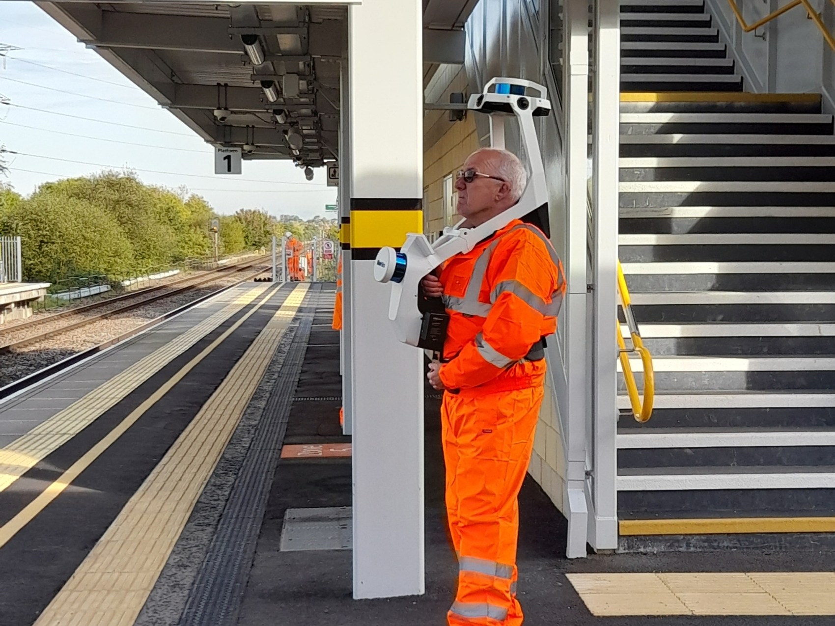
We invest heavily in the latest LiDAR, drone, and laser scanning technologies to capture complex environments faster and safer than traditional methods.
Our Surveying & Investigation Services
We utilise cutting-edge technology, from terrestrial laser scanning to fibre-optic monitoring, to deliver a comprehensive suite of site investigation services.
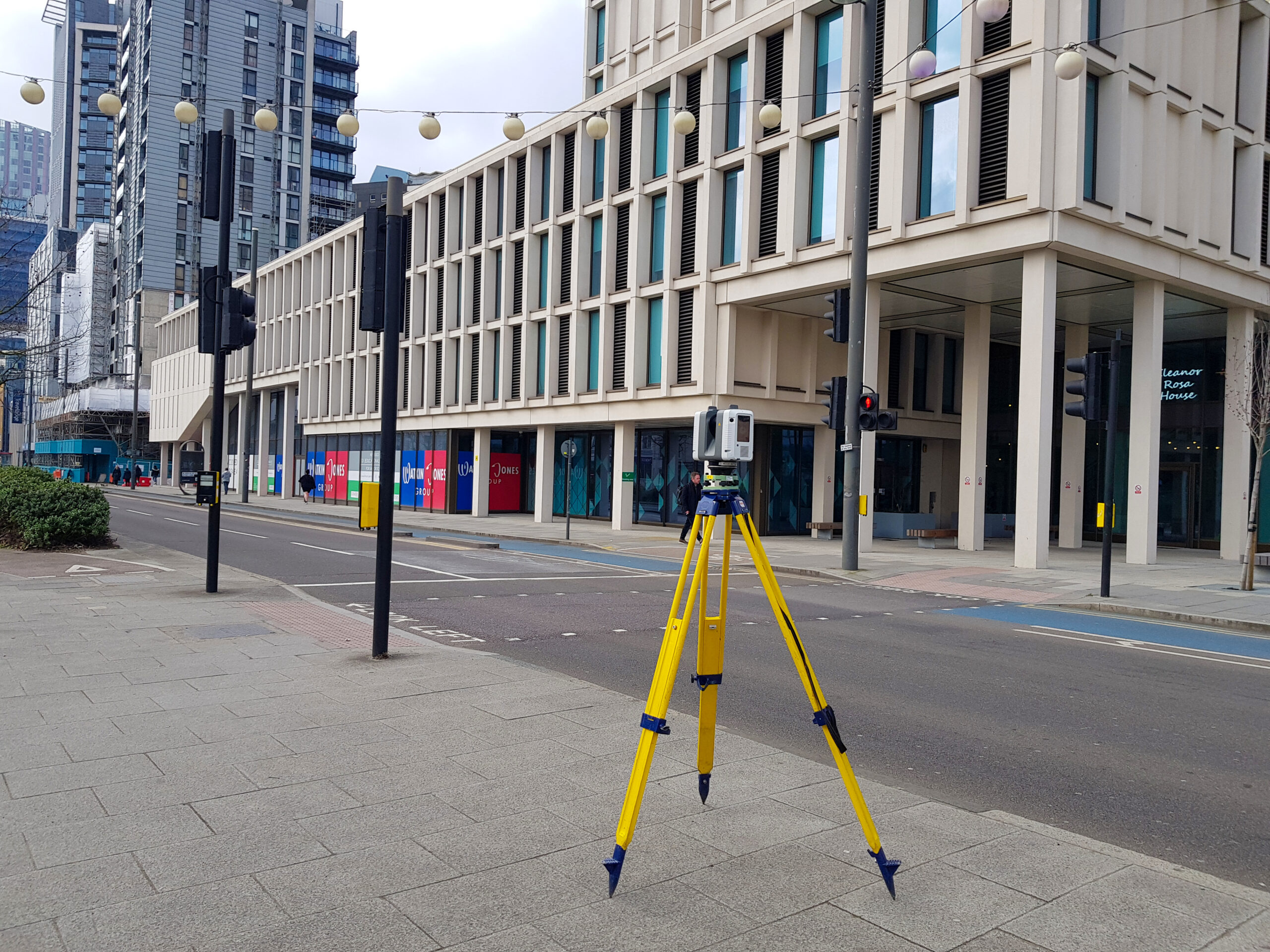
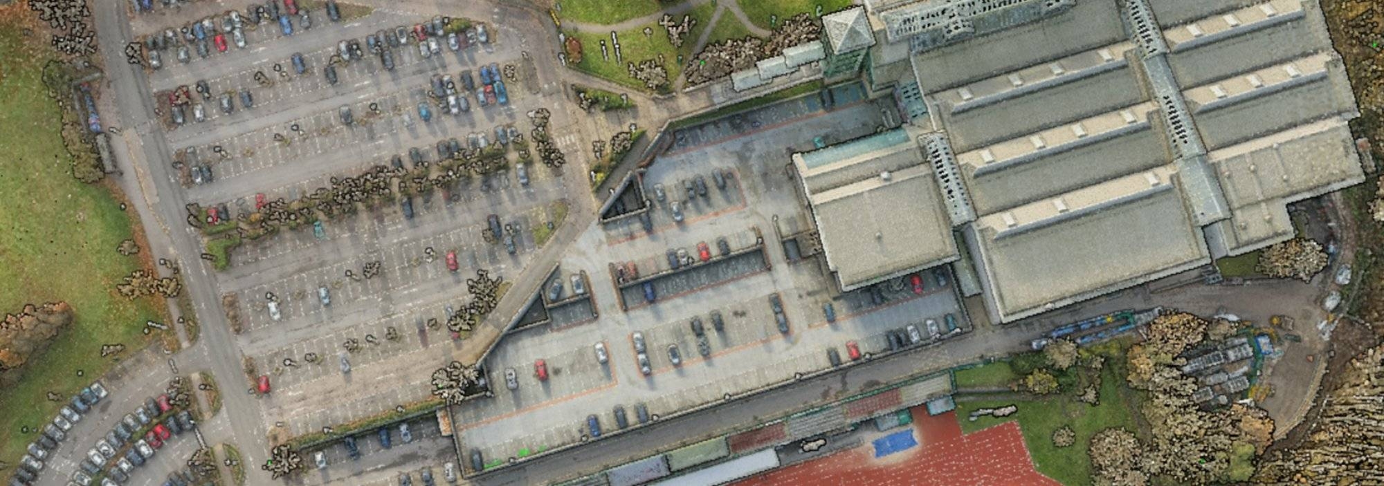
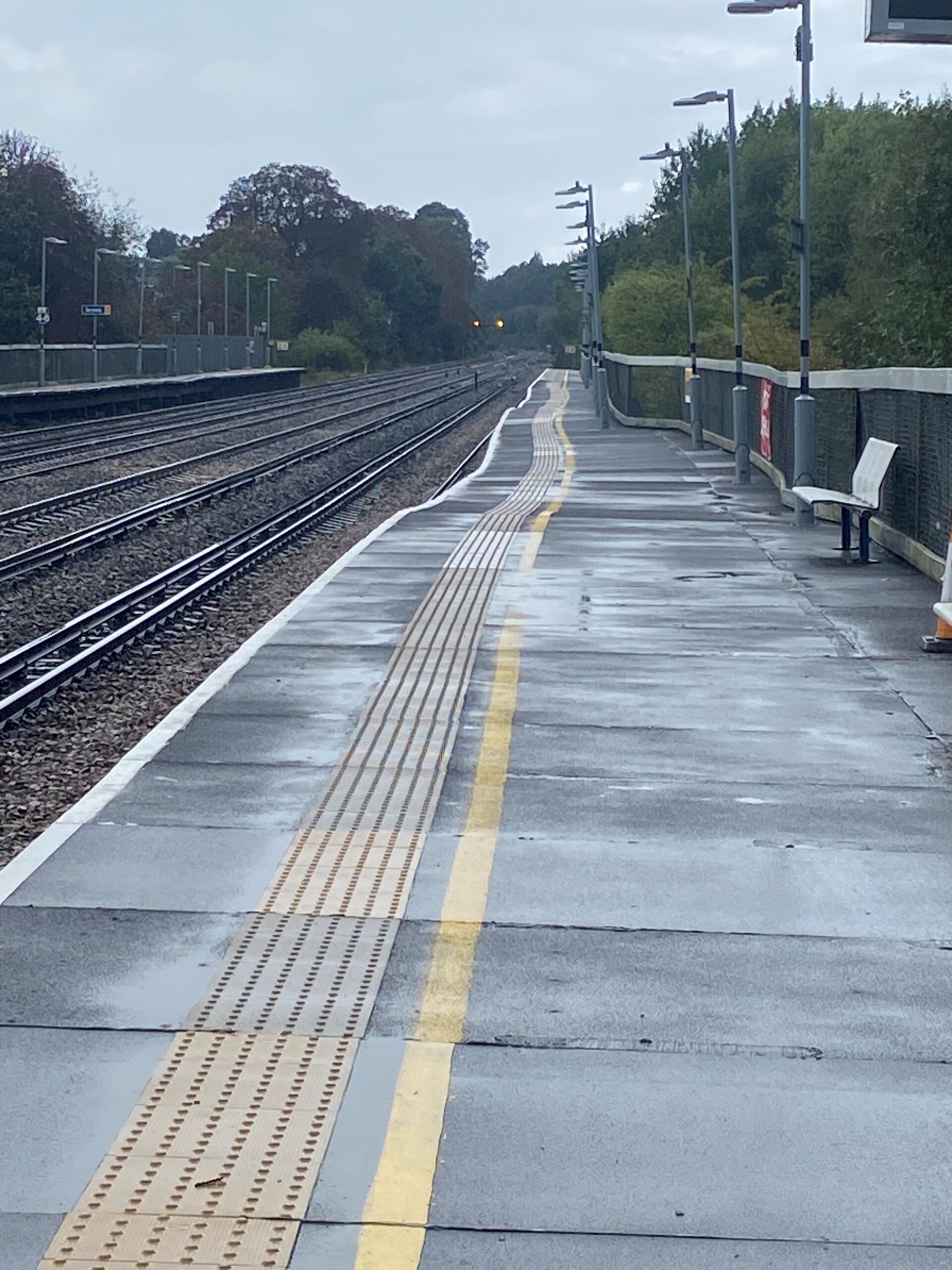
Topographical Surveys
Our expert survey teams produce highly detailed topographical products to provide a solid base for your design team.
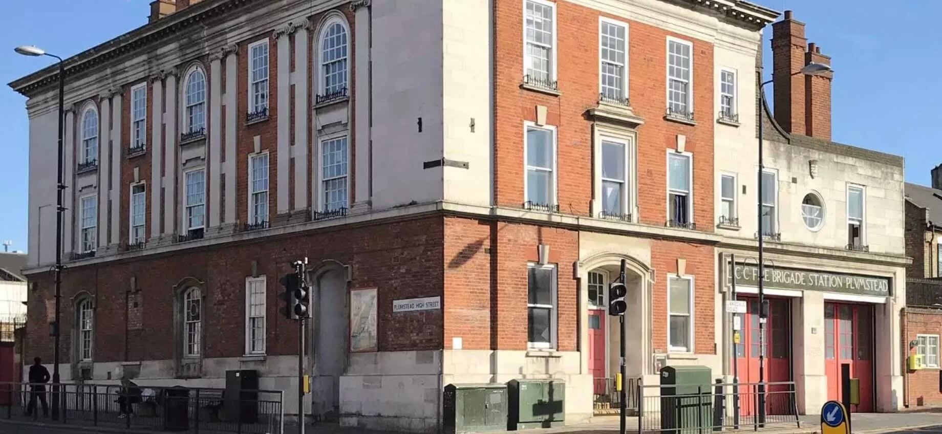
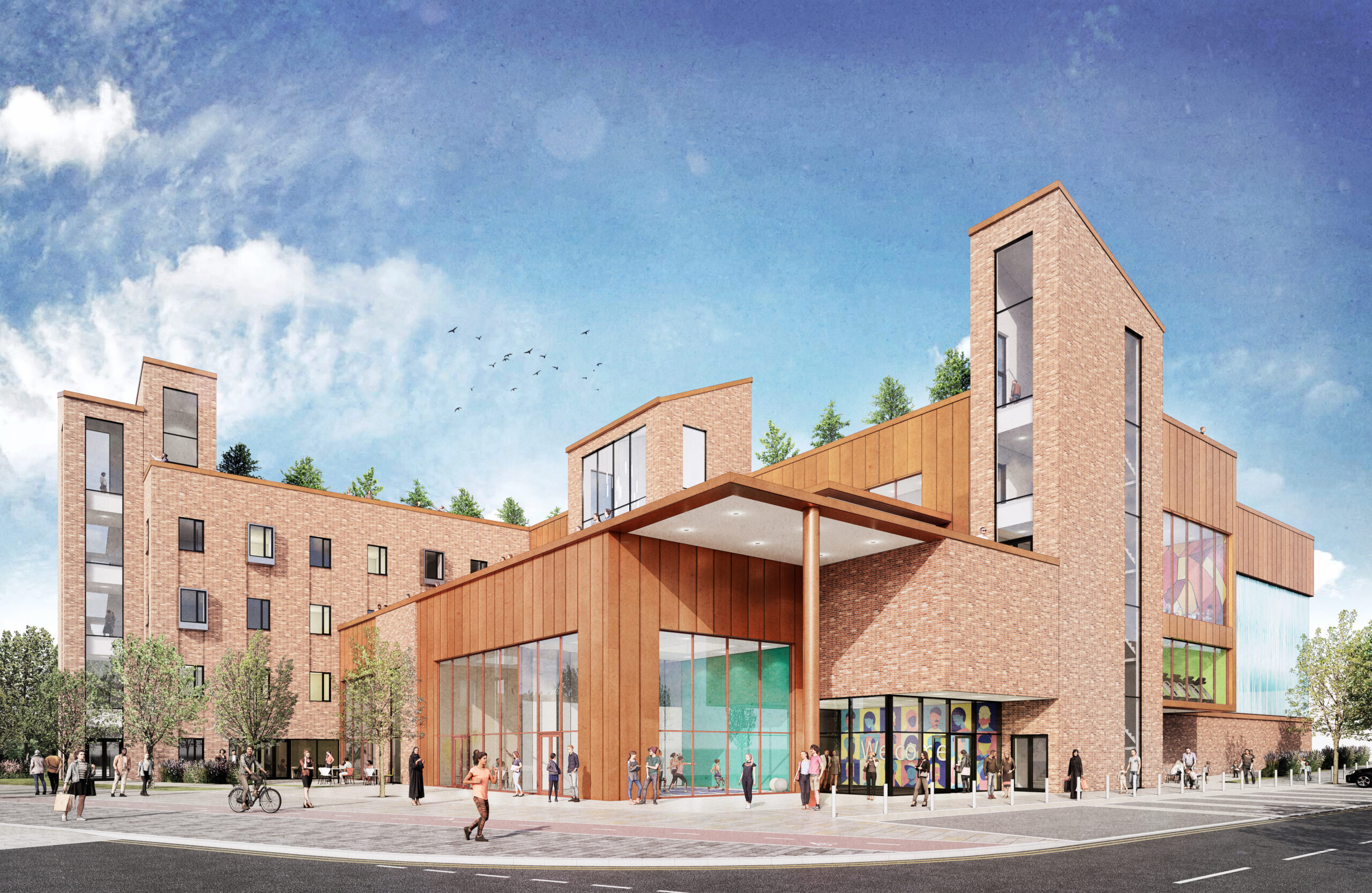
- Scalable Expertise: From small domestic developments to large-scale urban regeneration projects, such as the Stevenage New Town Centre.
- Flexible Specifications: Surveys can be specified to the Ordnance Survey National Grid and Datum, or tailored to your unique site grid.
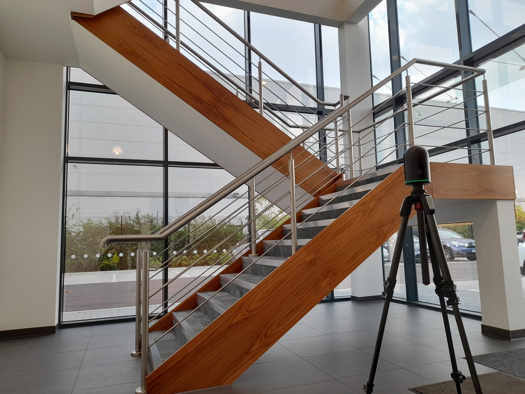
- Advanced Data Capture: We utilise terrestrial and drone-based laser scanning technology to capture millions of data points with millimetre accuracy.
- Integrated Services: Topographical surveys can be seamlessly specified alongside underground services tracing.
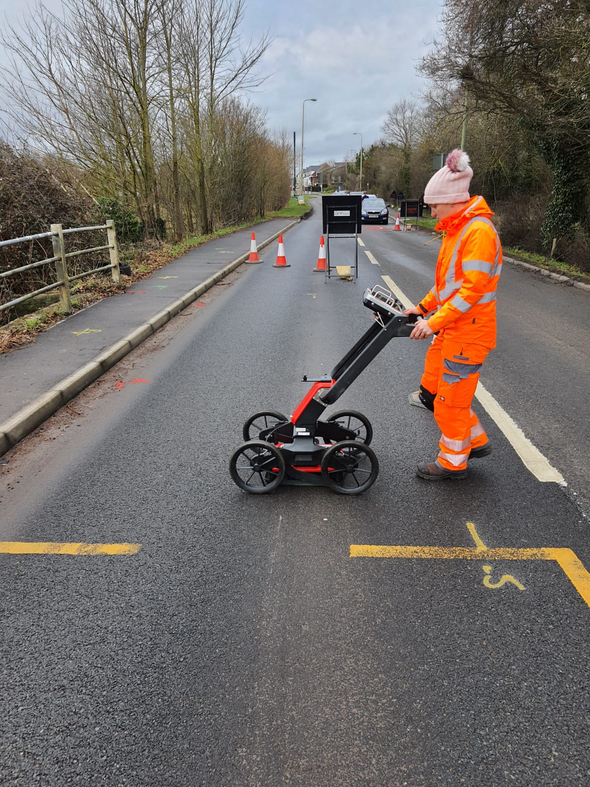
Underground Services Investigation (Utility Mapping)
We offer a comprehensive range of underground utility mapping services, ensuring your site teams dig safely and your design teams can coordinate new infrastructure without clashes.
- Fully Compliant: All our surveys are strictly compliant with the PAS 128 specification for underground utility detection, verification, and location.
- End-to-End Mapping: Ranging from initial desktop studies of statutory undertakers’ records (STATS) to full 2D or 3D site underground services investigations.
- Safe Access & Traffic Management: Where required, we arrange full traffic management to allow covers in live highways to be accessed safely.
- Collaborative Approach: Our utility teams work hand-in-hand with our Topographical and CCTV teams to provide a single, integrated site map.
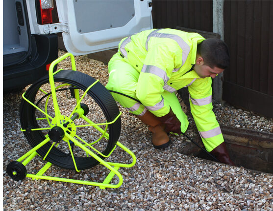
CCTV Drainage Surveys
We provide specialised, cost-effective drain care solutions across the country, executed with the utmost professionalism and adhering to the highest industry standards.
- Investigative CCTV Inspections: Utilising industry-standard Wincan software to generate highly detailed condition reports for pipe sizes ranging from 100mm to 1,000mm.
- Advanced Diagnostics: Locating and drain tracing, sonar underwater pipe profiling, and precision leak testing.
Drone & UAV Surveys
Unmanned Aerial Vehicle (UAV) technology is a critical part of the modern surveyor’s tool palette. UAVs provide a timely, cost-effective, and highly safe solution to a wide range of complex measurement issues.
- Photographic & Video Surveys: High-resolution imagery to aid condition reporting and site overviews.
- Point Cloud Production: Highly accurate 3D point clouds generated via photographic or LiDAR-based sensors for large topographical areas or inaccessible roofs.
- Internal Drone Surveys: Safely navigating confined spaces and dangerous structures without putting human personnel at risk.
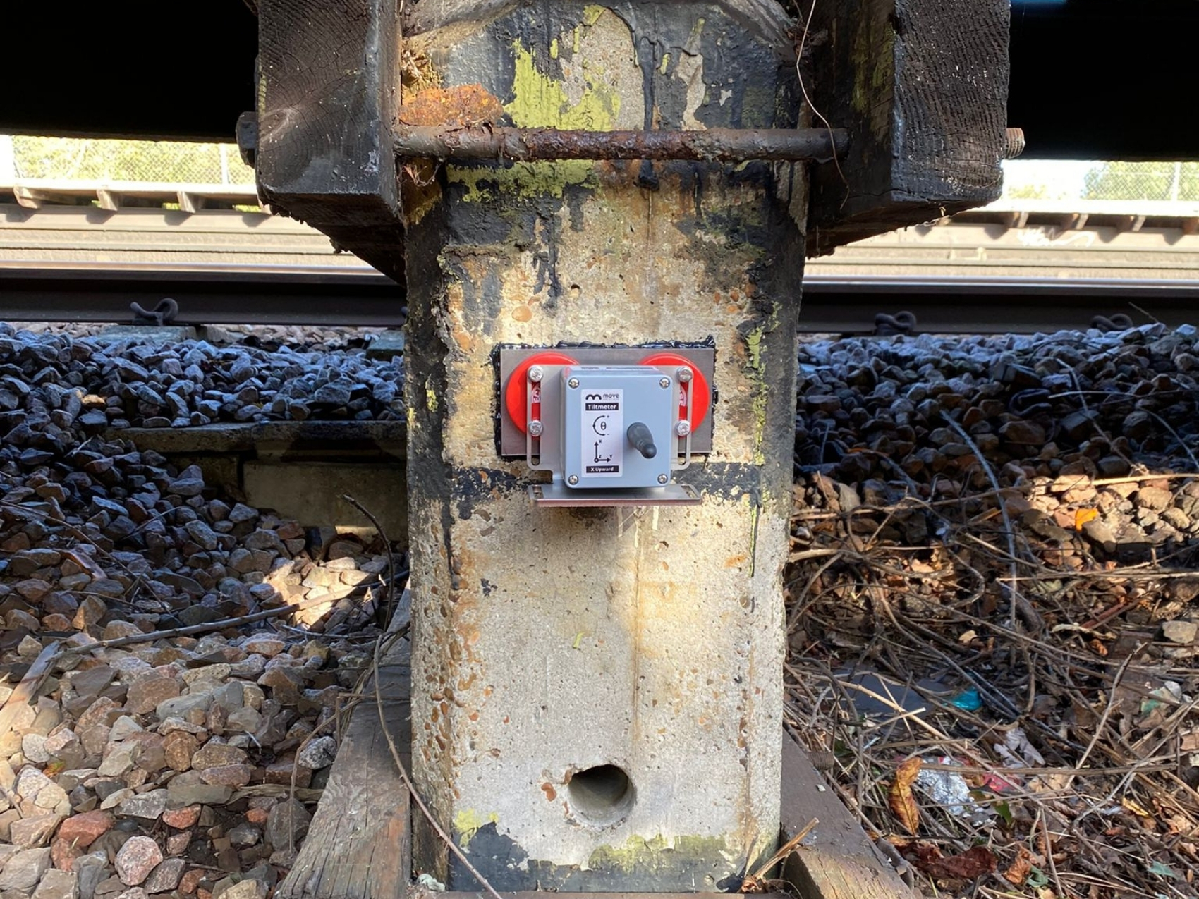
Movement Monitoring
We provide comprehensive monitoring solutions to assess and safeguard the stability, integrity, and performance of sensitive structures and environments. We manage the entire lifecycle, including specification, system design, instrumentation procurement, on-site installation, and online data presentation.
- Targeted Applications: Monitoring slopes and embankments, structure settlement or deformation (bridges, buildings, underground services), deep foundations (piles), and overall structural health.
- Advanced Techniques: Deploying traditional surveying monitoring, photographic monitoring, and highly sensitive fibre-optic monitoring.
Meet our Land Surveys & Site Investigations lead


Our clients and partners
Trusted by local authorities, developers and contractors